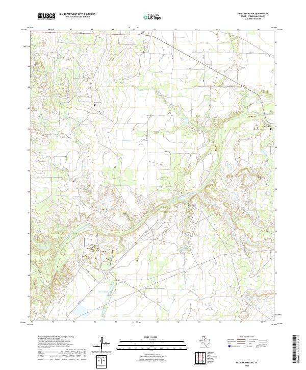
2022 Map of Frog Mountain
USGS Topo · Published 2022About this map
The Double Mountain Fork Brazos River winds through this West Texas landscape, defining a terrain of deep draws and seasonal drainage. This modern survey of Stonewall County reveals a territory structured by ranching and rural roads, where the presence of numerous family and community burial sites like the Old Glory Cem, Rayner Cem, and Hale Family Cem points to the deep generational ties of the area.
Find a feature on this map
37 named features on this map. Tap any name to fly to it.
Don’t see what you’re looking for? This feature index may not catch every label — zoom into the map to look around manually.
Map Details
Editions of this 2022 Frog Mountain Map
This is the sole edition of this map. No revisions or reprints were ever made.
Other maps of this area

1891 · Anson
USGS Topo · 1:125,000

1893 · Roby
USGS Topo · 1:125,000

1893 · Anson
USGS Topo · 1:125,000

1925 · Aspermont 4-a
USGS Topo · 1:48,000

1925 · Haskell 3-b
USGS Topo · 1:48,000

1931 · Aspermont
USGS Topo · 1:62,500

1954 · Lubbock
USGS Topo · 1:250,000

1954 · Big Spring
USGS Topo · 1:250,000

1954 · Abilene
USGS Topo · 1:250,000

1954 · Wichita Falls
USGS Topo · 1:250,000