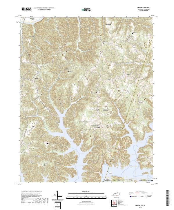
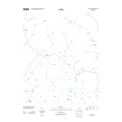
2022 Map of Frogue
USGS Topo · Published 2022About this map
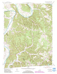
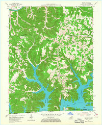
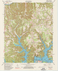
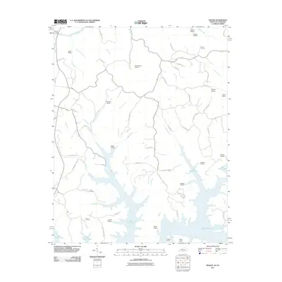
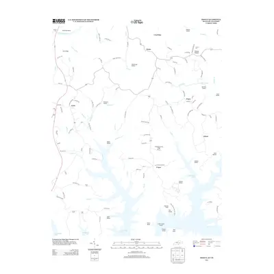
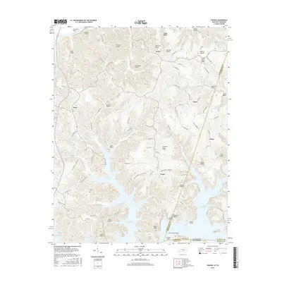
Frogue and its neighboring hamlets of Hegira and Modoc sit within a landscape defined by the intricate finger-like inlets of Dale Hollow Lake. This 2022 survey captures the borderlands between Kentucky and Tennessee, where the Cumberland River loops north at Herefords Bend. The upland ridges are dense with family history, marked by numerous small burial sites including the Neighbors Family Cem, Riddle Scott Cem, and Perkins Cem.
Find a feature on this map
126 named features on this map. Tap any name to fly to it.
Don’t see what you’re looking for? This feature index may not catch every label — zoom into the map to look around manually.
Map Details
Editions of this 2022 Frogue Map
This is the sole edition of this map. No revisions or reprints were ever made.
Historical Maps of Green Grove Through Time
31 maps found
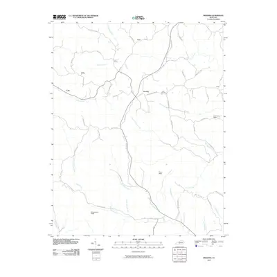
1953 Breeding
Cumberland County, KY
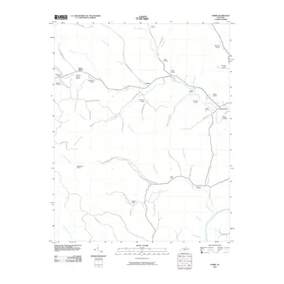
1953 Dubre
Cumberland County, KY
1953 Waterview
Cumberland County, KY
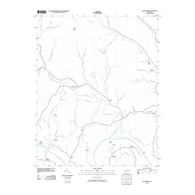
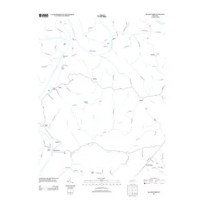
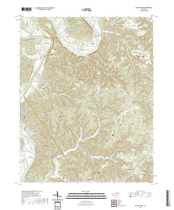
1954 Blacks Ferry
Cumberland County, KY
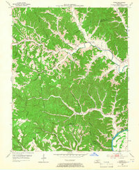
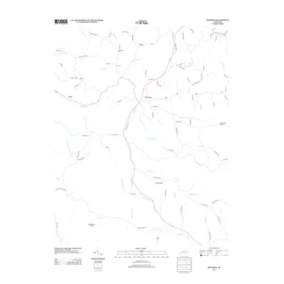
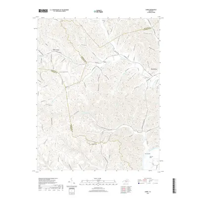
1954 Frogue
Cumberland County, KY
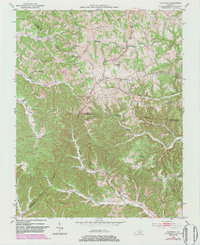
1978 Frogue
Cumberland County, KY
2010 Blacks Ferry
Cumberland County, KY
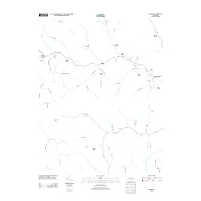
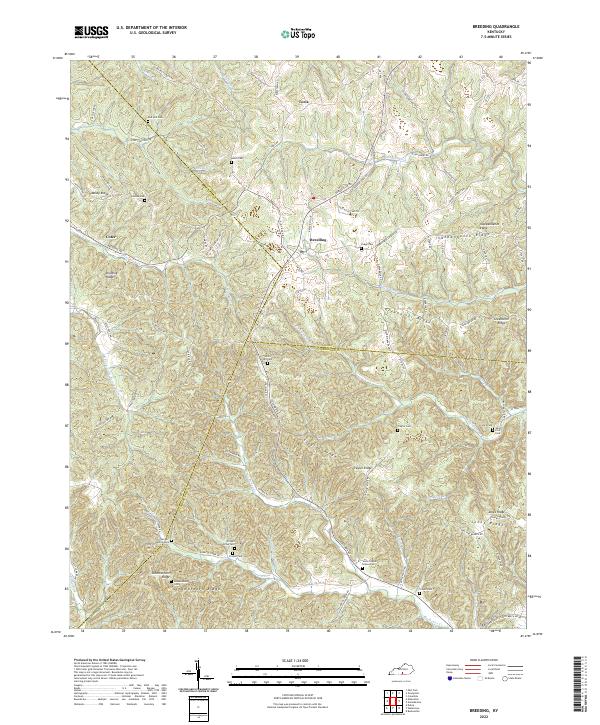
2010 Breeding
Cumberland County, KY
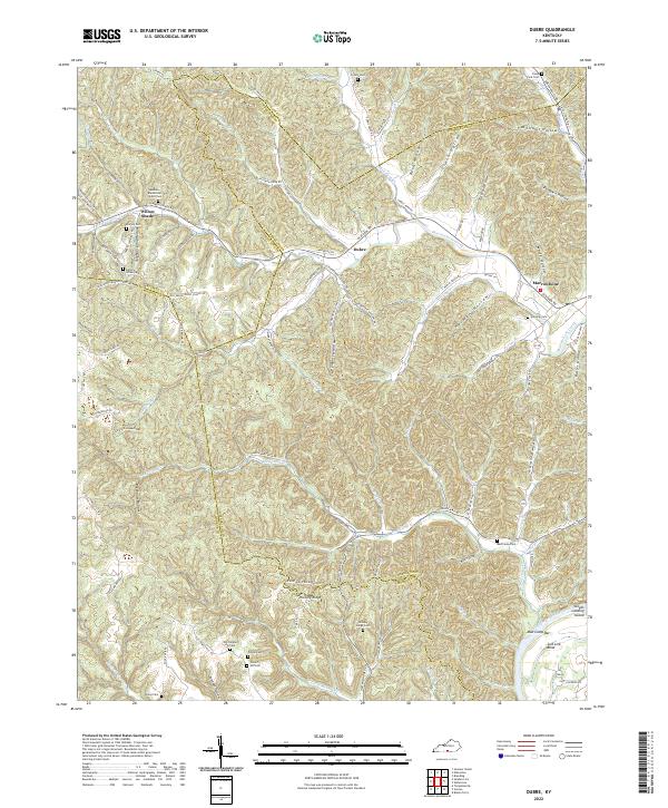
2010 Dubre
Cumberland County, KY
2010 Waterview
Cumberland County, KY
2011 Frogue
Cumberland County, KY
2013 Blacks Ferry
Cumberland County, KY
2013 Breeding
Cumberland County, KY
2013 Dubre
Cumberland County, KY
2013 Frogue
Cumberland County, KY
2013 Waterview
Cumberland County, KY
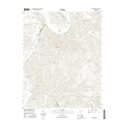
2016 Blacks Ferry
Cumberland County, KY
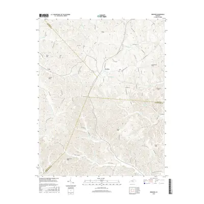
2016 Breeding
Cumberland County, KY
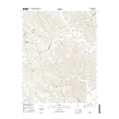
2016 Dubre
Cumberland County, KY
2016 Frogue
Cumberland County, KY
2016 Waterview
Cumberland County, KY
2019 Blacks Ferry
Cumberland County, KY
2019 Breeding
Cumberland County, KY
2019 Dubre
Cumberland County, KY
2019 Frogue
Cumberland County, KY
2019 Waterview
Cumberland County, KY
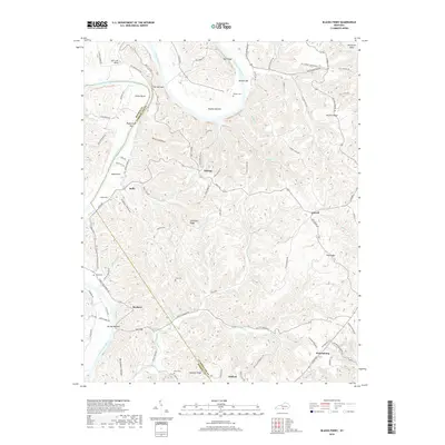
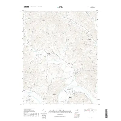
2022 Blacks Ferry
Cumberland County, KY
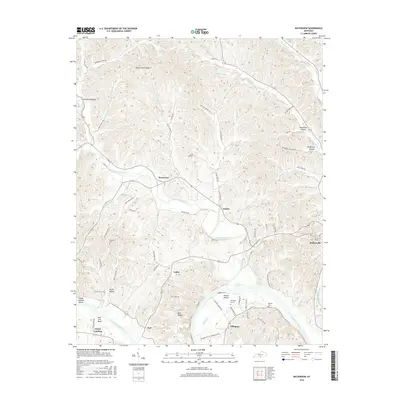
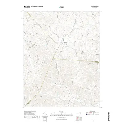
2022 Breeding
Cumberland County, KY
2022 Dubre
Cumberland County, KY
2022 Frogue
Cumberland County, KY
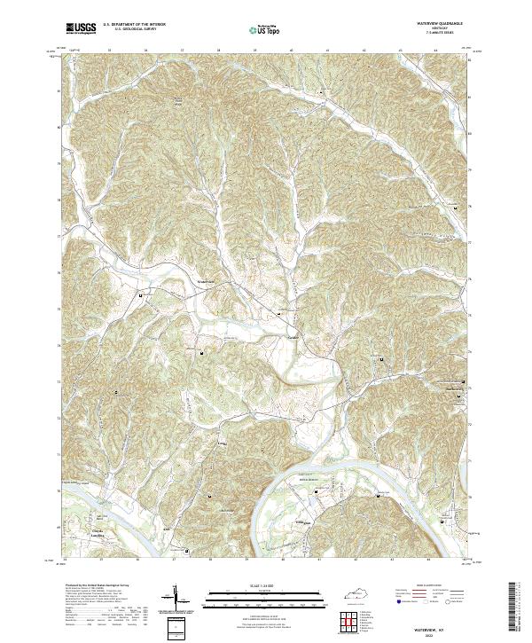
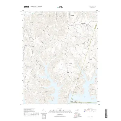
2022 Waterview
Cumberland County, KY