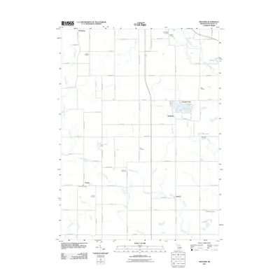
2011 Map of Frontier
USGS Topo · Published 2011About this map
Frontier and Ransom serve as the primary hubs in this corner of Hillsdale County, where a grid of rural roads connects scattered settlements and agricultural lands. The landscape is defined by its water and drainage network, featuring the East Branch Saint Joseph River in the northeast and a series of managed waterways like Ransom Ditch and Nile Ditch. Recreation and small-town life center around Bird Lake, where the adjacent communities of Fountain Park and Shadyside overlook the water. Numerous family and local burial grounds, such as Wild Cherry Cemetery, Doty Cemetery, and Lake Lesage Cemetery, are preserved throughout the township, providing essential markers for genealogical research. The presence of the Frontier Post Office and the small hamlet of Steamburg further illustrates the localized character of this southern Michigan borderland area.
Find a feature on this map
67 named features on this map. Tap any name to fly to it.
Don’t see what you’re looking for? This feature index may not catch every label — zoom into the map to look around manually.
Map Details
Editions of this 2011 Frontier Map
This is the sole edition of this map. No revisions or reprints were ever made.
Other maps of this area

1913 · Alvordton
USGS Topo · 1:62,500

1914 · Pioneer
USGS Topo · 1:62,500

1944 · Pioneer
USGS Topo · 1:62,500

1944 · Alvordton
USGS Topo · 1:62,500

1953 · Fort Wayne
USGS Topo · 1:250,000

1956 · Fort Wayne
USGS Topo · 1:250,000

1959 · Hillsdale
USGS Topo · 1:24,000

1959 · Reading
USGS Topo · 1:24,000

1959 · North Adams
USGS Topo · 1:24,000

1959 · Frontier
USGS Topo · 1:24,000