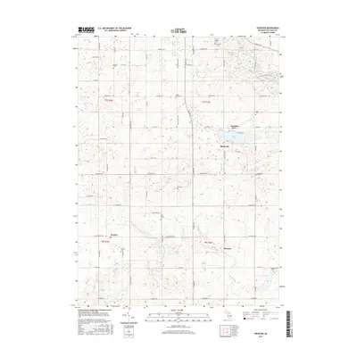
2017 Map of Frontier
USGS Topo · Published 2017About this map
Frontier and Ransom anchor this section of Hillsdale County, where the landscape is defined by agricultural fields and scattered woodlots typical of the Michigan-Ohio borderlands. The area is dotted with family and township burial grounds, including the Frontier Cem, Maple Grove Cem, and Wild Cherry Cem, providing a rich resource for genealogical research. Water features such as Bird Lake, Grass Lake, and Mud Lake interrupt the grid of rural roads, with drainage systems like the Nile Ditch and Ransom Ditch supporting the local farming economy. A notable modern addition to this rural setting is the N Country National Scenic Trail, which winds through the northeastern corner near Lake Number Five, offering a connection between these small communities and a larger regional trail network.
Find a feature on this map
52 named features on this map. Tap any name to fly to it.
Don’t see what you’re looking for? This feature index may not catch every label — zoom into the map to look around manually.
Map Details
Editions of this 2017 Frontier Map
This is the sole edition of this map. No revisions or reprints were ever made.
Other maps of this area

1913 · Alvordton
USGS Topo · 1:62,500

1914 · Pioneer
USGS Topo · 1:62,500

1944 · Pioneer
USGS Topo · 1:62,500

1944 · Alvordton
USGS Topo · 1:62,500

1953 · Fort Wayne
USGS Topo · 1:250,000

1956 · Fort Wayne
USGS Topo · 1:250,000

1959 · Hillsdale
USGS Topo · 1:24,000

1959 · Reading
USGS Topo · 1:24,000

1959 · North Adams
USGS Topo · 1:24,000

1959 · Frontier
USGS Topo · 1:24,000