2023 Map of Frontier
USGS Topo · Published 2023About this map
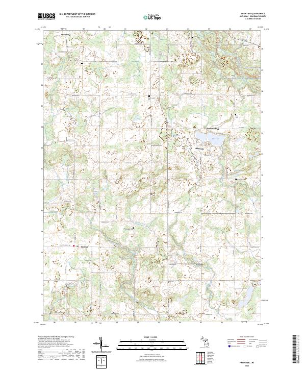
Frontier and Ransom serve as the primary focal points of this rural Hillsdale County landscape, which is defined by a dense network of watercourses and small glacial lakes. The East Branch Saint Joseph River and Silver Creek wind through the southern sections, while numerous smaller bodies of water like Bird Lake and Grass Lake punctuate the northern half. The presence of Fountain Park near the center of the survey area suggests a long-standing community gathering point amidst the agricultural fields and woodlots.
Find a feature on this map
71 named features on this map. Tap any name to fly to it.
Don’t see what you’re looking for? This feature index may not catch every label — zoom into the map to look around manually.
Map Details
Editions of this 2023 Frontier Map
This is the sole edition of this map. No revisions or reprints were ever made.
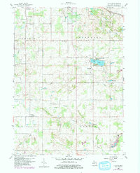
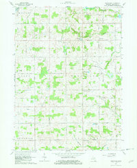
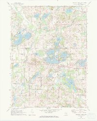
Historical Maps of Fountain Park Through Time
8 maps found
Featured Locations
- Jefferson Township, MI
- Woodbridge Township, MI
- Cambria Township, MI
- Ransom, Ransom Township
- Fountain Park, Jefferson Township