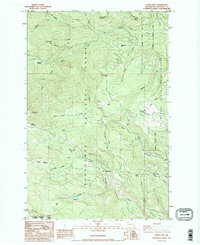
1985 Map of Frost Mtn
USGS Topo · Published 1995About this map
Wenatchee National Forest dominates this mid-1980s landscape, where high-elevation meadows and timbered ridges define the headwaters of the Taneum and Manastash drainages. The area is characterized by a series of named flats and meadows such as Buck Meadows, Keenan Meadows, and Frost Meadows, which historically served as vital clearings in the dense forest. Resource extraction is evident through numerous quarries and gravel pits scattered across the terrain, particularly near Taneum Point and Osborn Point.
Find a feature on this map
35 named features on this map. Tap any name to fly to it.
Don’t see what you’re looking for? This feature index may not catch every label — zoom into the map to look around manually.
Map Details
Editions of this 1985 Frost Mtn Map
2 editions found
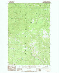
Other maps of this area

1897 · Mount Stuart
USGS Topo · 1:125,000

1899 · Ellensburg
USGS Topo · 1:125,000

1901 · Ellensburg
USGS Topo · 1:125,000

1901 · Snoqualmie Pass
USGS Topo · 1:125,000

1902 · Mount Aix
USGS Topo · 1:125,000

1902 · Mount Stuart
USGS Topo · 1:125,000

1903 · Snoqualmie
USGS Topo · 1:125,000

1904 · Mt Aix
USGS Topo · 1:125,000

1950 · Yakima
USGS Topo · 1:250,000

1957 · Wenatchee
USGS Topo · 1:250,000