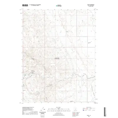
2020 Map of Fruita
USGS Topo · Published 2020About this map
The Fremont River carves through the red rock country of Capitol Reef National Park, anchoring a landscape of dramatic geologic formations and sparse human settlement. Near the confluence of Cohab Canyon and the river, the small community of Fruita remains a green pocket of history amidst the surrounding desert. This modern survey illustrates the proximity of well-known landmarks like Hickman Natural Bridge, Nels Johnson Bridge, and Cassidys Arch, showing how they relate to the striking monocline of the Waterpocket Fold. The network of travel through this terrain is defined by rugged corridors like the Grand Wash Trail and the sheer walls of The Narrows. Further east, the quiet Aldrich Cem serves as a remote marker of early local history near the winding river banks, while names like Danish Hill and Horse Mesa suggest a legacy of early ranching and livestock movement through the canyons.
Find a feature on this map
31 named features on this map. Tap any name to fly to it.
Don’t see what you’re looking for? This feature index may not catch every label — zoom into the map to look around manually.
Map Details
Editions of this 2020 Fruita Map
This is the sole edition of this map. No revisions or reprints were ever made.
Other maps of this area

1885 · Fish Lake
USGS Topo · 1:250,000

1896 · Fish Lake
USGS Topo · 1:250,000

1952 · Notom 2 SE
USGS Topo · 1:24,000

1952 · Notom 4 NW
USGS Topo · 1:24,000

1952 · Notom 4 NE
USGS Topo · 1:24,000

1952 · Notom 2 NE
USGS Topo · 1:24,000

1952 · Notom 3 NE
USGS Topo · 1:24,000

1952 · Notom 1 SW
USGS Topo · 1:24,000

1952 · Grover
USGS Topo · 1:62,500

1952 · Torrey
USGS Topo · 1:62,500