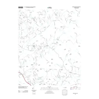
2013 Map of Fruitland
USGS Topo · Published 2013About this map
Edneyville and the community of Goodluck serve as central points in this portion of the Blue Ridge foothills during the early twenty-first century. The landscape is defined by a dense concentration of named peaks and gaps, ranging from Rattlesnake Knob and Bald Top Mountain to the high elevations of Huckleberry Mountain and Barnhill Mountain. The settlement pattern follows the intricate drainage networks of Hoopers Creek and Cane Creek, where small private airstrips like Six Oaks Airport and Cane Creek Airport sit alongside older agricultural and residential developments. In the southern reaches, Fruitland and Naples mark the transition toward more established corridors. The presence of Camp Judaea and Huckleberry Camp suggests the region's enduring role as a retreat, while water features such as Skelton Twin Lakes and Beechwood Lake punctuate the valleys between the numerous named knobs and ridges.
Find a feature on this map
69 named features on this map. Tap any name to fly to it.
Don’t see what you’re looking for? This feature index may not catch every label — zoom into the map to look around manually.
Map Details
Editions of this 2013 Fruitland Map
This is the sole edition of this map. No revisions or reprints were ever made.
Other maps of this area

1894 · Asheville
USGS Topo · 1:125,000

1900 · Mount Mitchell
USGS Topo · 1:125,000

1901 · Asheville
USGS Topo · 1:125,000

1902 · Mount Mitchell
USGS Topo · 1:125,000

1905 · Pisgah
USGS Topo · 1:125,000

1906 · Pisgah
USGS Topo · 1:125,000

1907 · Saluda
USGS Topo · 1:125,000

1935 · Horse Shoe
USGS Topo · 1:24,000

1935 · Batcave
USGS Topo · 1:24,000

1935 · Hendersonville
USGS Topo · 1:24,000