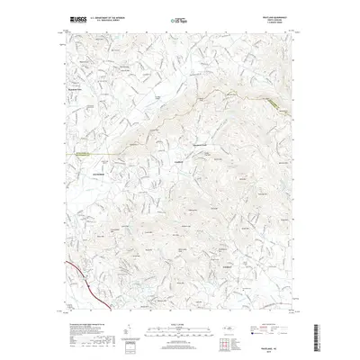
2019 Map of Fruitland
USGS Topo · Published 2019About this map
Fletcher and the surrounding high country of the Blue Ridge appear here in the late 2010s, showing a landscape defined by sharp mountain ridges and narrow valley settlements. The terrain is marked by numerous peaks such as Bearwallow Mtn and Bald Top Mtn, with gaps like Fairview Gap and Stroupe Gap serving as traditional transit points through the heights. In the valleys, established institutions like Christ School and the Christ School Columbarium stand near the Buncombe and Henderson county line.
Find a feature on this map
71 named features on this map. Tap any name to fly to it.
Don’t see what you’re looking for? This feature index may not catch every label — zoom into the map to look around manually.
Map Details
Editions of this 2019 Fruitland Map
This is the sole edition of this map. No revisions or reprints were ever made.
Other maps of this area

1894 · Asheville
USGS Topo · 1:125,000

1900 · Mount Mitchell
USGS Topo · 1:125,000

1901 · Asheville
USGS Topo · 1:125,000

1902 · Mount Mitchell
USGS Topo · 1:125,000

1905 · Pisgah
USGS Topo · 1:125,000

1906 · Pisgah
USGS Topo · 1:125,000

1907 · Saluda
USGS Topo · 1:125,000

1935 · Horse Shoe
USGS Topo · 1:24,000

1935 · Batcave
USGS Topo · 1:24,000

1935 · Hendersonville
USGS Topo · 1:24,000