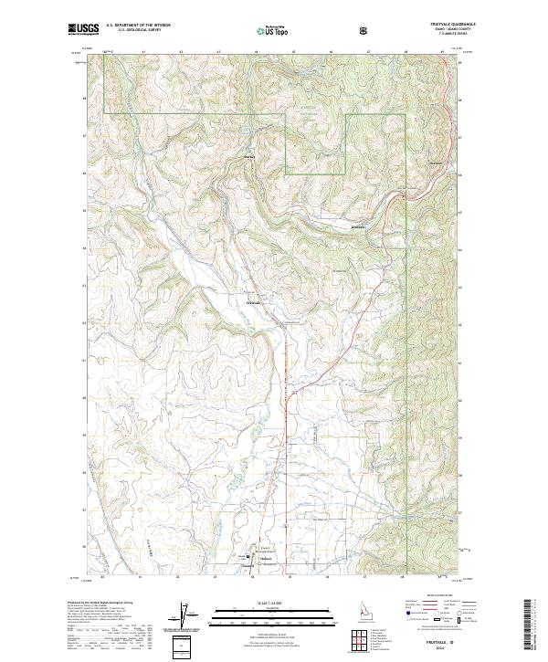
2024 Map of Fruitvale
USGS Topo · Published 2024About this map
Council and the surrounding river valleys are the focal points of this 2024 landscape, where the confluence of several streams shapes the geography of Adams County. The Weiser River flows southward through the center of the sheet, paralleled by the Weiser River National Recreation Trail, tracing a historic transportation corridor through the valley. Smaller settlements such as Fruitvale, Glendale, and Starkey are scattered along the river's course and its tributaries, while the southern end of the map features the Council Municipal Airport and the Winkler Cem near the town of Hoover.
Find a feature on this map
45 named features on this map. Tap any name to fly to it.
Don’t see what you’re looking for? This feature index may not catch every label — zoom into the map to look around manually.
Map Details
Editions of this 2024 Fruitvale Map
This is the sole edition of this map. No revisions or reprints were ever made.
Other maps of this area

1911 · Meadows
USGS Topo · 1:125,000

1954 · Council
USGS Topo · 1:62,500

1954 · New Meadows
USGS Topo · 1:62,500

1955 · Baker
USGS Topo · 1:250,000

1957 · Cambridge
USGS Topo · 1:62,500

1957 · Hornet
USGS Topo · 1:62,500

1959 · Baker
USGS Topo · 1:250,000

1980 · McCall
USGS Topo · 1:100,000

1986 · Peck Mountain
USGS Topo · 1:24,000
1986 · Council Mountain
USGS Topo · 1:24,000