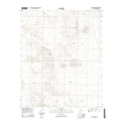
2015 Map of Fry Mountains
USGS Topo · Published 2015About this map
The Fry Mountains dominate this section of the Mojave Desert, rising sharply above the surrounding arid basins. This 2015 U.S. Geological Survey topographic map documents a landscape defined by dramatic relief and isolated landmarks such as Red Hill and Fry Mtn. The region is a study in high-desert geography, where the northern Upper Johnson Valley meets the lower slopes of the range. Human presence is limited primarily to infrastructure and access routes, including Camp Rock Rd and Bessemer Mine Rd. These corridors, along with Powerline Rd, provide the essential framework for navigating the desert floor and accessing remote mining and utility sites scattered across the township and range boundaries of t6n r3e and t5n r3e.
Find a feature on this map
12 named features on this map. Tap any name to fly to it.
Don’t see what you’re looking for? This feature index may not catch every label — zoom into the map to look around manually.
Map Details
Editions of this 2015 Fry Mountains Map
This is the sole edition of this map. No revisions or reprints were ever made.
Other maps of this area

1901 · Southern California Sheet No. 1
USGS Topo · 1:250,000

1902 · San Gorgonio
USGS Topo · 1:125,000

1904 · Southern California Sheet No. 1
USGS Topo · 1:250,000

1947 · Lucerne Valley
USGS Topo · 1:62,500

1949 · Lucerne Valley
USGS Topo · 1:62,500

1953 · San Bernardino
USGS Topo · 1:250,000

1955 · Silver Bell Mine
USGS Topo · 1:24,000

1955 · Old Woman Springs
USGS Topo · 1:62,500

1955 · Ord Mountains
USGS Topo · 1:62,500

1955 · Rodman Mountains
USGS Topo · 1:62,500