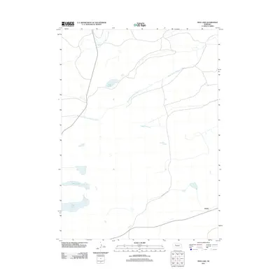
2011 Map of Frye Lake
USGS Topo · Published 2011About this map
The Middle Branch Middle Loup River and South Branch Middle Loup River define this portion of the Nebraska Sandhills, carving subtle valleys through a landscape of alkaline lakes and meadows. This 2011 survey illustrates a sparsely populated ranching region where infrastructure is limited to occasional arterial paths like Raymond Lake Rd. The settlement of Duluth serves as a small waypoint in the southeastern corner of the quadrangle, situated near the western reaches of the Loup River system. The hydrologic character of the area is further shaped by prominent water bodies including Frye Lake, Revere Lake, and the clustered Three Lakes, which are characteristic of this ecologically distinct high plains environment.
Find a feature on this map
7 named features on this map. Tap any name to fly to it.
Don’t see what you’re looking for? This feature index may not catch every label — zoom into the map to look around manually.
Map Details
Editions of this 2011 Frye Lake Map
This is the sole edition of this map. No revisions or reprints were ever made.
Other maps of this area

1948 · Ashby
USGS Topo · 1:62,500

1948 · George Lake
USGS Topo · 1:62,500

1948 · Whitman
USGS Topo · 1:62,500

1948 · Spring Valley
USGS Topo · 1:62,500

1949 · Ashby
USGS Topo · 1:62,500

1950 · Spring Valley
USGS Topo · 1:62,500

1950 · Whitman
USGS Topo · 1:62,500

1950 · George Lake
USGS Topo · 1:62,500

1954 · North Platte
USGS Topo · 1:250,000

1956 · North Platte
USGS Topo · 1:250,000