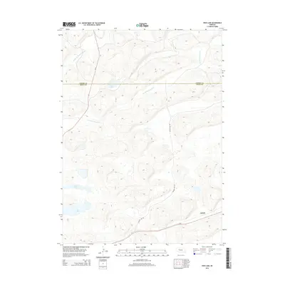
2014 Map of Frye Lake
USGS Topo · Published 2014About this map
Frye Lake and Revere Lake punctuate the arid, dune-filled Sandhills landscape of northern Nebraska in this 2014 survey. The map details a sparsely populated ranching region where water is the primary geographic anchor, specifically the winding courses of the Middle Br Middle Loup River and the S Br Middle Loup River. Human infrastructure is concentrated along the southern edge, where the settlement of Duluth sits at the junction of Ne-2 and Raymond Lake Rd.
Find a feature on this map
10 named features on this map. Tap any name to fly to it.
Don’t see what you’re looking for? This feature index may not catch every label — zoom into the map to look around manually.
Map Details
Editions of this 2014 Frye Lake Map
This is the sole edition of this map. No revisions or reprints were ever made.
Other maps of this area

1948 · Ashby
USGS Topo · 1:62,500

1948 · George Lake
USGS Topo · 1:62,500

1948 · Whitman
USGS Topo · 1:62,500

1948 · Spring Valley
USGS Topo · 1:62,500

1949 · Ashby
USGS Topo · 1:62,500

1950 · Spring Valley
USGS Topo · 1:62,500

1950 · Whitman
USGS Topo · 1:62,500

1950 · George Lake
USGS Topo · 1:62,500

1954 · North Platte
USGS Topo · 1:250,000

1956 · North Platte
USGS Topo · 1:250,000