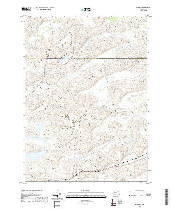
2021 Map of Frye Lake
USGS Topo · Published 2021About this map
The Middle Br Middle Loup River and S Br Middle Loup River wind through the sandhills of the Nebraska Panhandle, defining a landscape of wetlands and isolated water bodies. This 2021 survey illustrates the sparse settlement patterns along the border of Cherry and Grant counties, where the community of Duluth serves as a primary point of reference. The terrain is characterized by numerous basins, including Frye Lake, Revere Lake, and the clustered Three Lakes, which are connected by a limited network of rural routes such as Raymond Lake Rd. The map provides a contemporary view of the hydrology of the Loup River headwaters, where seasonal shifts and the high water table of the Ogallala Aquifer create a complex environment of shifting shorelines and ephemeral marshes like Coles Lake and Beem Lake.
Find a feature on this map
18 named features on this map. Tap any name to fly to it.
Don’t see what you’re looking for? This feature index may not catch every label — zoom into the map to look around manually.
Map Details
Editions of this 2021 Frye Lake Map
This is the sole edition of this map. No revisions or reprints were ever made.
Other maps of this area

1948 · Ashby
USGS Topo · 1:62,500

1948 · George Lake
USGS Topo · 1:62,500

1948 · Whitman
USGS Topo · 1:62,500

1948 · Spring Valley
USGS Topo · 1:62,500

1949 · Ashby
USGS Topo · 1:62,500

1950 · Spring Valley
USGS Topo · 1:62,500

1950 · Whitman
USGS Topo · 1:62,500

1950 · George Lake
USGS Topo · 1:62,500

1954 · North Platte
USGS Topo · 1:250,000

1956 · North Platte
USGS Topo · 1:250,000