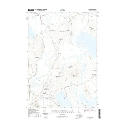
2014 Map of Fryeburg
USGS Topo · Published 2014About this map
The Saco River meanders through this borderland valley, defining the landscape around Fryeburg and its outlying villages. The geography is marked by the distinct path of the Old Course Saco River, which winds north toward North Fryeburg and Fish Street. This 2014 survey reveals a territory dense with genealogical data, particularly the high concentration of burial grounds such as Pine Grove Cem, Riverside Cem, and the Abbot Cemeteries. Significant water bodies like Lovewell Pond and Kezar Pond dominate the lowlands, while prominent elevations like Mount Tom and Jockey Cap provide topographical relief to the river valley. The map documents the persistent agricultural and small-town settlement patterns along Bridgton Rd and N Fryeburg Rd, showcasing the enduring community structure of the Oxford Co and Carroll Co Oxford Co border region.
Find a feature on this map
113 named features on this map. Tap any name to fly to it.
Don’t see what you’re looking for? This feature index may not catch every label — zoom into the map to look around manually.
Map Details
Editions of this 2014 Fryeburg Map
This is the sole edition of this map. No revisions or reprints were ever made.
Other maps of this area

1894 · North Conway
USGS Topo · 1:62,500

1896 · North Conway
USGS Topo · 1:62,500

1909 · Fryeburg
USGS Topo · 1:62,500

1910 · Kezar Falls
USGS Topo · 1:48,000

1911 · Fryeburg
USGS Topo · 1:62,500

1911 · Kezar Falls
USGS Topo · 1:62,500

1930 · Ossipee Lake
USGS Topo · 1:62,500

1941 · Fryeburg
USGS Topo · 1:62,500

1942 · North Conway
USGS Topo · 1:62,500

1945 · North Conway
USGS Topo · 1:62,500