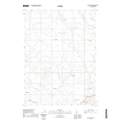
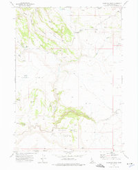
2023 Map of Frying Pan Basin
USGS Topo · Published 2023About this map
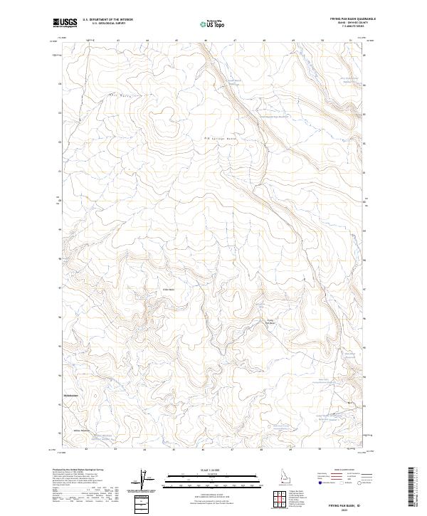
Dickshooter sits at the heart of this high-desert landscape in southwestern Idaho, a region characterized by specialized water management and expansive plateaus. The presence of numerous man-made catchments like Dry Creek Reservoir Number Five and South Big Springs Reservoir highlights the critical role of water infrastructure for cattle ranching in the arid high country. The terrain transitions from the prominent Big Springs Butte in the north down into the Frying Pan Basin and D Bar Basin, where natural features like Frying Pan Spring and Avondale Spring provide essential moisture.
Find a feature on this map
24 named features on this map. Tap any name to fly to it.
Don’t see what you’re looking for? This feature index may not catch every label — zoom into the map to look around manually.
Map Details
Editions of this 2023 Frying Pan Basin Map
2 editions found
Other maps of this area

1955 · Jordan Valley
USGS Topo · 1:250,000

1957 · Jordan Valley
USGS Topo · 1:250,000

1958 · Jordan Valley
USGS Topo · 1:250,000
1972 · Frying Pan Basin
USGS Topo · 1:24,000
1972 · Big Springs Ranch
USGS Topo · 1:24,000
1972 · Crab Spring Butte
USGS Topo · 1:24,000
1972 · Shoofly Springs
USGS Topo · 1:24,000
1972 · Battle Creek Lakes
USGS Topo · 1:24,000
1972 · Lost Valley
USGS Topo · 1:24,000
1973 · Wagon Box Basin
USGS Topo · 1:24,000