
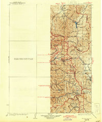
1928 Map of Ft. Douglas
USGS Topo · Published 1928About this map
Park City stands as the industrial anchor of this mid-1920s survey, a period when the surrounding mountains were bustling with mining activity and early canyon tourism. The high-altitude landscape is dotted with early 20th-century recreational sites like the Pinecrest Inn, the YWCA Camp, and the Mt Air Resort, signaling the region's shift toward seasonal retreat. To the north, Porterville and Snyderville represent the established agricultural and transport nodes, while the Ft Douglas Mil Res and City Farm illustrate the diverse land use near the metropolitan fringe.
Find a feature on this map
86 named features on this map. Tap any name to fly to it.
Don’t see what you’re looking for? This feature index may not catch every label — zoom into the map to look around manually.
Map Details
Editions of this 1928 Ft. Douglas Map
2 editions found
Other maps of this area

1885 · Salt Lake
USGS Topo · 1:250,000

1885 · Tooele Valley
USGS Topo · 1:250,000

1900 · Coalville
USGS Topo · 1:125,000

1903 · Coalville
USGS Topo · 1:125,000

1907 · Strawberry Valley
USGS Topo · 1:125,000

1909 · Strawberry Valley
USGS Topo · 1:125,000

1915 · Fairfield
USGS Topo · 1:62,500

1917 · Fairfield
USGS Topo · 1:62,500

1925 · Ft. Douglas
USGS Topo · 1:125,000

1948 · Timpanogos Cave
USGS Topo · 1:24,000