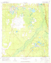
1970 Map of Ft McCoy
USGS Topo · Published 1973About this map
Fort McCoy and Eureka anchor the northern reaches of this central Florida landscape, where the Oklawaha River carves a winding path through the Ocala National Forest. The map documents a dense network of riverfront landings, including Palmetto Landing, Gores Landing, and Osceola Landing, which reflect the historic importance of the river as a transportation artery before modern road infrastructure dominated.
Find a feature on this map
41 named features on this map. Tap any name to fly to it.
Don’t see what you’re looking for? This feature index may not catch every label — zoom into the map to look around manually.
Map Details
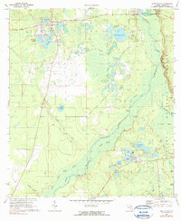
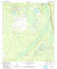
Editions of this 1970 Ft McCoy Map
3 editions found
Other maps of this area

1893 · Citra
USGS Topo · 1:62,500

1895 · Citra
USGS Topo · 1:62,500

1895 · Ocala
USGS Topo · 1:62,500

1954 · Gainesville
USGS Topo · 1:250,000

1954 · Daytona Beach
USGS Topo · 1:250,000

1958 · Daytona Beach
USGS Topo · 1:250,000

1958 · Gainesville
USGS Topo · 1:250,000

1959 · Gainesville
USGS Topo · 1:250,000

1964 · Daytona Beach
USGS Topo · 1:250,000
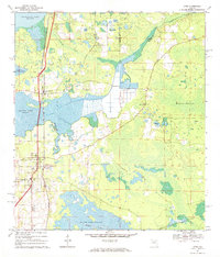
1967 · Citra
USGS Topo · 1:24,000