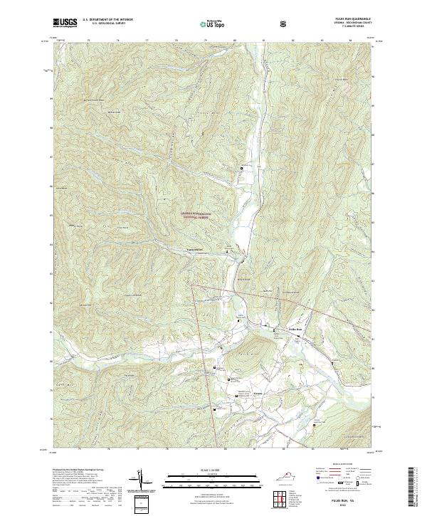
2022 Map of Fulks Run
USGS Topo · Published 2022About this map
The North Fork Shenandoah River carves through the Appalachian landscape of Rockingham County, anchoring a valley of small settlements and family holdings. Small communities like Fulks Run and Genoa are joined by the remote Yankeetown, situated near the eastern edge of the George Washington National Forest. The map reveals a high density of family-named burial grounds, including the Fawley - Fulk Family Cem, Ritchie Family Cem, and a dedicated African - American Cem near the Shoemaker River.
Find a feature on this map
92 named features on this map. Tap any name to fly to it.
Don’t see what you’re looking for? This feature index may not catch every label — zoom into the map to look around manually.
Map Details
Editions of this 2022 Fulks Run Map
This is the sole edition of this map. No revisions or reprints were ever made.
Other maps of this area

1892 · Franklin
USGS Topo · 1:125,000

1892 · Woodstock
USGS Topo · 1:125,000

1896 · Franklin
USGS Topo · 1:125,000

1920 · Petersburg
USGS Topo · 1:48,000

1921 · Orkney Springs
USGS Topo · 1:48,000

1921 · Petersburg
USGS Topo · 1:48,000

1922 · Fort Seybert
USGS Topo · 1:48,000

1922 · Petersburg
USGS Topo · 1:62,500

1923 · Orkney Springs
USGS Topo · 1:62,500

1924 · Fort Seybert
USGS Topo · 1:62,500