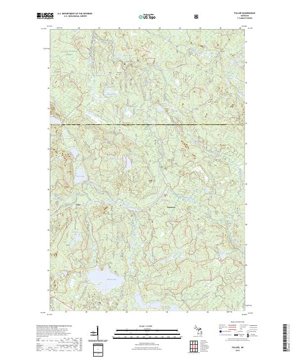
2023 Map of Fuller
USGS Topo · Published 2023About this map
The Ottawa National Forest dominates this northern landscape, where the Middle Branch Ontonagon River and Tamarack River converge near the small settlements of Fuller and Tamarack. This region is characterized by a high density of small glacial lakes and ponds, ranging from the large Marion Lake to smaller, curiously named water bodies like Corpse Pond and Hobo Lake. The map reveals the intricate network of forest service trails and roads that provide access to these remote waters.
Find a feature on this map
94 named features on this map. Tap any name to fly to it.
Don’t see what you’re looking for? This feature index may not catch every label — zoom into the map to look around manually.
Map Details
Editions of this 2023 Fuller Map
This is the sole edition of this map. No revisions or reprints were ever made.
Other maps of this area
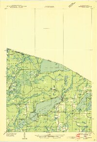
1938 · Phelps
USGS Topo · 1:48,000
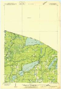
1950 · Phelps
USGS Topo · 1:48,000
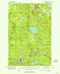
1952 · Watersmeet
USGS Topo · 1:62,500
1954 · Kenton
USGS Topo · 1:62,500
1956 · Beechwood
USGS Topo · 1:62,500
1956 · Phelps
USGS Topo · 1:62,500

1958 · Iron River
USGS Topo · 1:250,000
1960 · Iron River
USGS Topo · 1:250,000
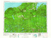
1961 · Iron River
USGS Topo · 1:250,000
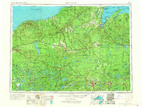
1967 · Iron River
USGS Topo · 1:250,000