
1973 Map of Fulton East
USGS Topo · Published 1977About this map
The town of Fulton sits at the heart of this Clarke County landscape, positioned along the Southern RR railroad line that served as a vital transport artery for the local timber and industrial sectors. The geography is defined by the winding paths of Bassett Creek and Little Bassett Creek, which carve through the terrain between Thomasville and the settlement of Seyrene. A notable historical marker on this map is the Old Indian Treaty Bdy, which cuts diagonally across the northern sections, preserving a colonial-era boundary in the modern topographic record.
Find a feature on this map
28 named features on this map. Tap any name to fly to it.
Don’t see what you’re looking for? This feature index may not catch every label — zoom into the map to look around manually.
Map Details
Editions of this 1973 Fulton East Map
This is the sole edition of this map. No revisions or reprints were ever made.
Other maps of this area

1953 · Andalusia
USGS Topo · 1:250,000

1957 · Andalusia
USGS Topo · 1:250,000

1972 · Whatley
USGS Topo · 1:24,000

1972 · Chance
USGS Topo · 1:24,000

1973 · Pine Hill
USGS Topo · 1:24,000

1973 · Thomasville
USGS Topo · 1:24,000

1973 · Lower Peach Tree
USGS Topo · 1:24,000
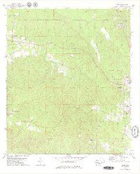
1978 · Bashi
USGS Topo · 1:24,000
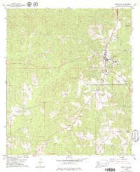
1978 · Grove Hill
USGS Topo · 1:24,000
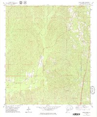
1978 · Fulton West
USGS Topo · 1:24,000