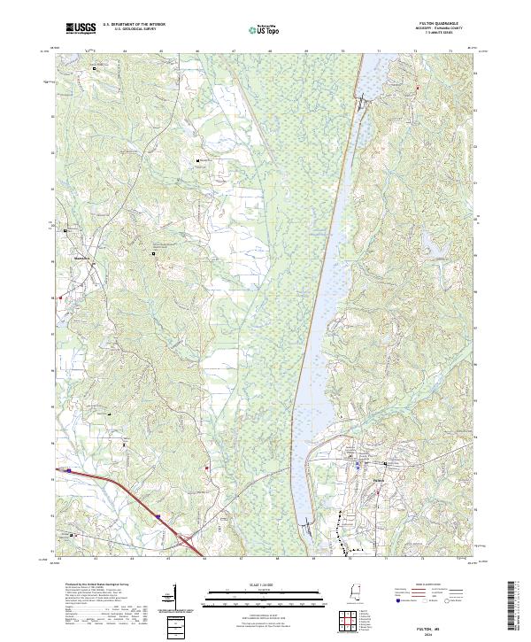
2024 Map of Fulton
USGS Topo · Published 2024About this map
Fulton and the adjacent Tennessee-Tombigbee Waterway define this landscape in Itawamba County. The modern waterway cuts a straight path north-to-south, contrasting sharply with the winding oxbows and marshy banks of the original Tombigbee River and the Old River Cutoff. This corridor serves as the regional hub for education and governance, anchored by the Itawamba Community College campus and the Itawamba County Courthouse in the center of town.
Find a feature on this map
129 named features on this map. Tap any name to fly to it.
Don’t see what you’re looking for? This feature index may not catch every label — zoom into the map to look around manually.
Map Details
Editions of this 2024 Fulton Map
This is the sole edition of this map. No revisions or reprints were ever made.
Other maps of this area

1921 · Tupelo
USGS Topo · 1:48,000

1923 · Tupelo
USGS Topo · 1:62,500

1956 · Tupelo
USGS Topo · 1:250,000

1958 · Tupelo
USGS Topo · 1:250,000

1965 · Mooreville
USGS Topo · 1:24,000

1965 · Fulton SE
USGS Topo · 1:24,000

1965 · Fulton
USGS Topo · 1:24,000
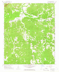
1965 · Fulton NE
USGS Topo · 1:24,000

1965 · Kirkville
USGS Topo · 1:24,000

1966 · Beans Ferry
USGS Topo · 1:24,000