
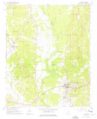
1965 Map of Fulton
USGS Topo · Published 1966About this map
The Tombigbee River snakes through the heart of this mid-1960s landscape, its ancient meandering paths and oxbows evidenced by features like Old River Cutoff and Queen Lake. The river's influence on the local geography is clear, with the Mississippian railroad line and state roads converging on Fulton, the primary settlement and commercial hub. This area of Itawamba County is notably dotted with rural spiritual and burial sites, from Warrens Chapel Cem in the north to the Dorsey Memorial Cem in the southwest, reflecting the community structure of the time.
Find a feature on this map
31 named features on this map. Tap any name to fly to it.
Don’t see what you’re looking for? This feature index may not catch every label — zoom into the map to look around manually.
Map Details
Editions of this 1965 Fulton Map
3 editions found
Other maps of this area

1921 · Tupelo
USGS Topo · 1:48,000

1923 · Tupelo
USGS Topo · 1:62,500

1956 · Tupelo
USGS Topo · 1:250,000

1958 · Tupelo
USGS Topo · 1:250,000

1965 · Mooreville
USGS Topo · 1:24,000

1965 · Fulton SE
USGS Topo · 1:24,000
1965 · Fulton NE
USGS Topo · 1:24,000

1965 · Kirkville
USGS Topo · 1:24,000

1966 · Beans Ferry
USGS Topo · 1:24,000

1966 · Evergreen
USGS Topo · 1:24,000