
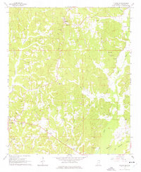
1965 Map of Fulton SE
USGS Topo · Published 1966About this map
Fairview and Clay anchor this mid-1960s landscape, where a dense network of country churches and family burial grounds reflects a deeply rooted rural community. The Fairview Lookout Tower stands as a prominent landmark overlooking the ridge-and-valley terrain drained by Cummings Creek and Little Briar Creek. The map reveals a high concentration of spiritual and memorial sites, including Mt Gilead Ch, New Temple Ch, and the Itawamba Memorial Gardens, which suggest the social focal points of the era.
Find a feature on this map
32 named features on this map. Tap any name to fly to it.
Don’t see what you’re looking for? This feature index may not catch every label — zoom into the map to look around manually.
Map Details
Editions of this 1965 Fulton SE Map
2 editions found
Other maps of this area

1936 · Red Bay
USGS Topo · 1:24,000

1951 · Red Bay
USGS Topo · 1:24,000

1956 · Tupelo
USGS Topo · 1:250,000

1958 · Tupelo
USGS Topo · 1:250,000

1965 · Fulton
USGS Topo · 1:24,000
1965 · Fulton NE
USGS Topo · 1:24,000

1965 · Kirkville
USGS Topo · 1:24,000

1966 · Beans Ferry
USGS Topo · 1:24,000

1966 · Tremont
USGS Topo · 1:24,000
1967 · Shottsville
USGS Topo · 1:24,000