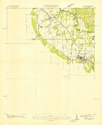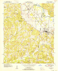
1951 Map of Red Bay
USGS Topo · Published 1951About this map
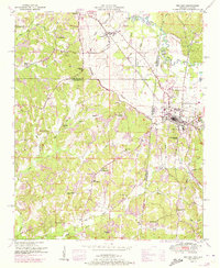
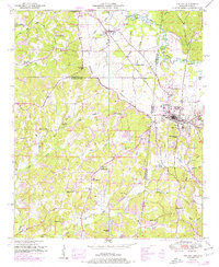
Red Bay serves as the central hub of this 1951 survey, situated directly on the state line where Alabama meets Mississippi. The town's economy and layout are defined by the Illinois Central railroad, which bisects the community near landmarks like the Water Tank and early industrial sites for Oil and Gas. To the north and west, the landscape transitions into the Freedom Hills, where small rural communities like Golden and Belmont are connected by a network of country churches and schools. The topography is intricately detailed, showing the Divide between local watersheds and the winding path of Bear Creek. Genealogists will find significant value in the distribution of family-named sites, including Burgess Cem, Hodge Cem, and Patterson Chapel, which provide a clear picture of mid-century settlement patterns across Franklin, Tishomingo, and Itawamba counties.
Find a feature on this map
55 named features on this map. Tap any name to fly to it.
Don’t see what you’re looking for? This feature index may not catch every label — zoom into the map to look around manually.
Map Details
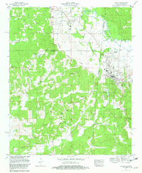
Editions of this 1951 Red Bay Map
3 editions found
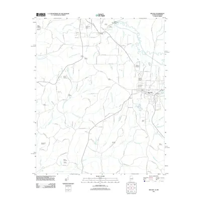
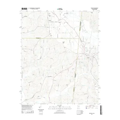
Historical Maps of Red Bay Through Time
8 maps found