Loading...
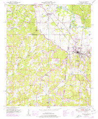
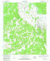
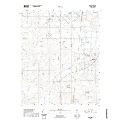
Loading map...1951 Map of Red Bay
USGS Topo · Published 1976About this map
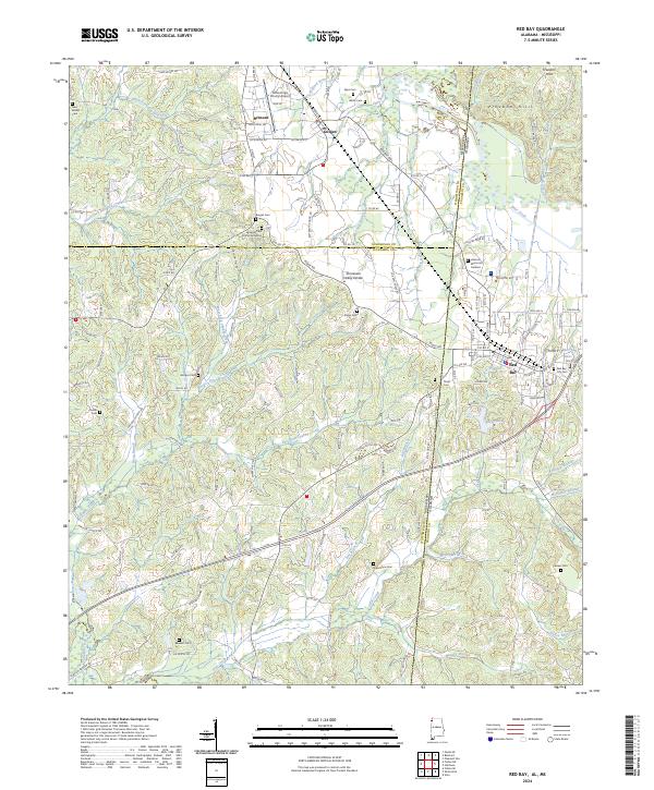
Red Bay serves as a vital cross-border hub where the Mississippi-Alabama state line meets the Illinois Central railroad. This map, based on late 1940s field work with revisions through the 1960s, illustrates a landscape defined by the Tennessee Valley Divide. To the north, the Freedom Hills overlook the valley, while a dense network of country schools and churches like Banner Sch and Macedonia Ch reveal the established rural social structure of the mid-20th century.
Find a feature on this map
63 named features on this map. Tap any name to fly to it.
Don’t see what you’re looking for? This feature index may not catch every label — zoom into the map to look around manually.
Map Details
Date Portrayed1951
Date Published1976
PublisherU.S. Geological Survey
Map TypeTopographic
Scale1:24,000
Physical Dimensions22 x 26.7 inches
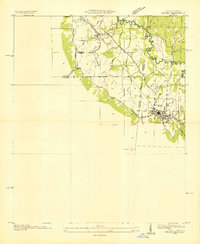
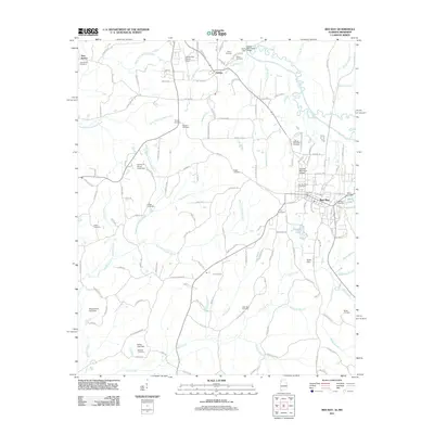
Editions of this 1951 Red Bay Map
3 editions found
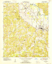
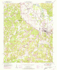
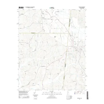
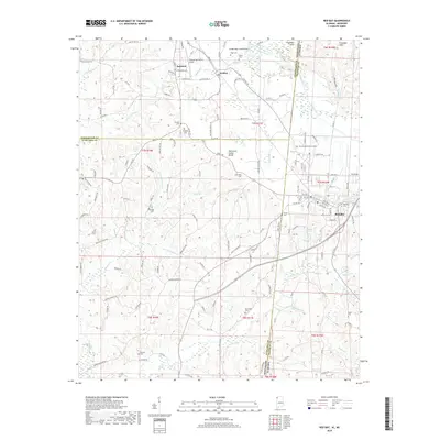
Historical Maps of Red Bay Through Time
8 maps found
Featured Locations
Source Details
SourceU.S. Geological Survey
CopyrightPublic Domain