
1966 Map of Evergreen
USGS Topo · Published 1967About this map
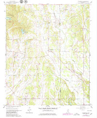
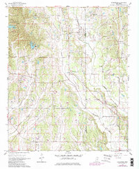
Boguefala Creek carves a winding path through the center of this landscape, separating the small communities of Richmond and Evergreen. In the northwest, Tombigbee State Park surrounds the waters of Lake Wilhelmina, where the park headquarters is established. The map reveals a high density of rural social centers, including Dorsey Sch, Wesley Chapel Cem, and Shiloh Ch, illustrating the distributed nature of early Lee County society. Industry is represented by scattered sandpits near Pleasant Hill, while the county line between Lee and Itawamba Counties runs north-to-south along the eastern half of the survey. Numerous family-named cemeteries such as Gregory Cem, Hussey Cem, and Whiteside Cem are documented alongside creek systems like Smith Creek and Carmichael Creek.
Find a feature on this map
37 named features on this map. Tap any name to fly to it.
Don’t see what you’re looking for? This feature index may not catch every label — zoom into the map to look around manually.
Map Details
Editions of this 1966 Evergreen Map
3 editions found
Other maps of this area

1921 · Tupelo
USGS Topo · 1:48,000

1923 · Tupelo
USGS Topo · 1:62,500

1956 · Tupelo
USGS Topo · 1:250,000

1958 · Tupelo
USGS Topo · 1:250,000

1965 · Mooreville
USGS Topo · 1:24,000

1965 · Fulton
USGS Topo · 1:24,000

1966 · Smithville
USGS Topo · 1:24,000

1966 · Beans Ferry
USGS Topo · 1:24,000

1966 · Shannon
USGS Topo · 1:24,000
1966 · Nettleton
USGS Topo · 1:24,000