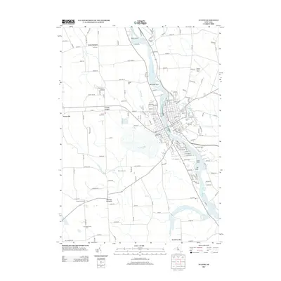
2013 Map of Fulton
USGS Topo · Published 2013About this map
The Oswego River serves as the central artery for this region, winding past Battle Island and Pathfinder Island as it flows north toward Lake Ontario. On the western bank, the landscape is defined by agricultural and rural settlements such as Lewis Corners, Granby Center, and Bowens Corners. Small family and community agricultural operations including Willow Creek Farm and Snow Valley Honey Farm are scattered throughout the town of Granby, showing a persistent pattern of land use even as modern infrastructure like the Oswego County Airport expands nearby.
Find a feature on this map
176 named features on this map. Tap any name to fly to it.
Don’t see what you’re looking for? This feature index may not catch every label — zoom into the map to look around manually.
Map Details
Editions of this 2013 Fulton Map
This is the sole edition of this map. No revisions or reprints were ever made.
Other maps of this area

1900 · Baldwinsville
USGS Topo · 1:62,500

1900 · Oswego
USGS Topo · 1:62,500

1900 · Fulton
USGS Topo · 1:62,500

1902 · Weedsport
USGS Topo · 1:62,500

1943 · Oswego East
USGS Topo · 1:31,680

1943 · Lysander
USGS Topo · 1:31,680

1943 · New Haven
USGS Topo · 1:31,680

1943 · Oswego West
USGS Topo · 1:31,680

1943 · Cato
USGS Topo · 1:31,680

1943 · Pennellville
USGS Topo · 1:31,680