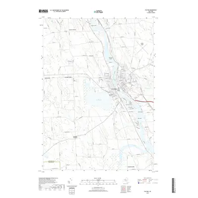
2019 Map of Fulton
USGS Topo · Published 2019About this map
The Oswego River serves as the central artery for this part of upstate New York, anchoring the city of Fulton and its industrial and maritime infrastructure. The presence of the Lock O-2 Bridge and multiple river islands like Pathfinder Island and Big Island highlight the importance of the canalized waterway. To the west, Lake Neatahwanta provides a significant natural break in the landscape near the city center, while the surrounding rural areas are defined by smaller agricultural settlements.
Find a feature on this map
154 named features on this map. Tap any name to fly to it.
Don’t see what you’re looking for? This feature index may not catch every label — zoom into the map to look around manually.
Map Details
Editions of this 2019 Fulton Map
This is the sole edition of this map. No revisions or reprints were ever made.
Other maps of this area

1900 · Baldwinsville
USGS Topo · 1:62,500

1900 · Oswego
USGS Topo · 1:62,500

1900 · Fulton
USGS Topo · 1:62,500

1902 · Weedsport
USGS Topo · 1:62,500

1943 · Oswego East
USGS Topo · 1:31,680

1943 · Lysander
USGS Topo · 1:31,680

1943 · New Haven
USGS Topo · 1:31,680

1943 · Oswego West
USGS Topo · 1:31,680

1943 · Cato
USGS Topo · 1:31,680

1943 · Pennellville
USGS Topo · 1:31,680