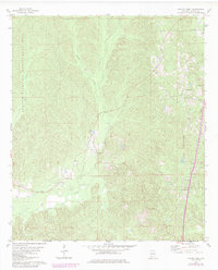
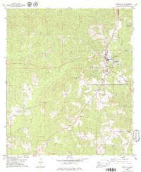
1978 Map of Fulton West
USGS Topo · Published 1986About this map
Satilpa Creek and its many tributaries, including Wells Creek and Tantrough Branch, carve through the rolling Clarke County terrain on this mid-1970s survey. The landscape is defined by small agricultural settlements and a network of rural roads connecting communities such as Springfield, Chilton, and Greenwood. The map provides significant genealogical value, documenting numerous centers of worship like Evans Chapel and Goodhope Ch, alongside family landmarks such as Smiths Cem and Kelley Cem.
Find a feature on this map
19 named features on this map. Tap any name to fly to it.
Don’t see what you’re looking for? This feature index may not catch every label — zoom into the map to look around manually.
Map Details
Editions of this 1978 Fulton West Map
2 editions found
Other maps of this area

1953 · Andalusia
USGS Topo · 1:250,000

1957 · Andalusia
USGS Topo · 1:250,000

1972 · Whatley
USGS Topo · 1:24,000

1973 · Fulton East
USGS Topo · 1:24,000

1973 · Thomasville
USGS Topo · 1:24,000

1978 · McEntyre
USGS Topo · 1:24,000
1978 · Bashi
USGS Topo · 1:24,000

1978 · Winn
USGS Topo · 1:24,000
1978 · Morvin
USGS Topo · 1:24,000
1978 · Grove Hill
USGS Topo · 1:24,000