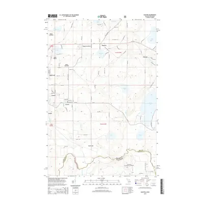
2014 Map of Gaastra
USGS Topo · Published 2014About this map
Iron River and its neighboring mining settlements define this portion of the Upper Peninsula, where the landscape transitions from industrial centers into the dense woodlands of the Nicolet National Forest. The map records a dense concentration of company towns and locations, including Gaastra, Caspian, and Palatka, alongside specialized residential clusters like Bates Location and Rogers Location. This settlement pattern reflects the area's deep history of iron ore extraction, where communities were often built in immediate proximity to the mine shafts. Beyond the urban grid, the terrain is marked by a glaciated hydrography featuring Chicagon Lake, Scott Lake, and the winding path of the Brule River, which serves as the boundary between Michigan and Wisconsin. Local transit and heritage are noted through features like Bates Cem and the various forest roads that penetrate the timberlands to the south.
Find a feature on this map
93 named features on this map. Tap any name to fly to it.
Don’t see what you’re looking for? This feature index may not catch every label — zoom into the map to look around manually.
Map Details
Editions of this 2014 Gaastra Map
This is the sole edition of this map. No revisions or reprints were ever made.
Other maps of this area

1898 · Iron River
USGS Topo · 1:62,500

1899 · Crystal Falls
USGS Topo · 1:62,500

1939 · Long Lake
USGS Topo · 1:48,000

1941 · Florence
USGS Topo · 1:48,000

1944 · Iron River
USGS Topo · 1:24,000

1944 · Gaastra
USGS Topo · 1:24,000

1944 · Fortune Lakes
USGS Topo · 1:24,000

1945 · Gibbs City
USGS Topo · 1:24,000

1945 · Sunset Lake
USGS Topo · 1:24,000

1945 · Amasa
USGS Topo · 1:24,000