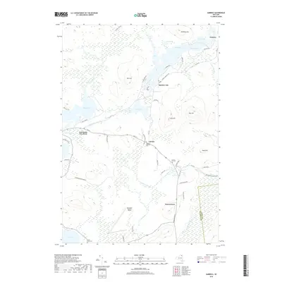
2019 Map of Gabriels
USGS Topo · Published 2019About this map
The hamlets of Gabriels and Paul Smiths anchor this modern survey of the Adirondack landscape, where the Saint Regis River and Osgood River thread through a dense network of glacial water bodies. The terrain is defined by prominent elevations such as Meenahga Mtn and Blue Hill, interspersed with expansive wetlands and smaller basins like Grandmas Pond and Cooler Pond.
Find a feature on this map
61 named features on this map. Tap any name to fly to it.
Don’t see what you’re looking for? This feature index may not catch every label — zoom into the map to look around manually.
Map Details
Editions of this 2019 Gabriels Map
This is the sole edition of this map. No revisions or reprints were ever made.
Other maps of this area

1902 · Saranac
USGS Topo · 1:62,500

1904 · Saranac
USGS Topo · 1:62,500

1905 · Saint Regis
USGS Topo · 1:62,500

1906 · Loon Lake
USGS Topo · 1:62,500

1908 · Loon Lake
USGS Topo · 1:62,500

1921 · Santa Clara
USGS Topo · 1:62,500

1923 · Santa Clara
USGS Topo · 1:62,500

1948 · Ogdensburg
USGS Topo · 1:250,000

1951 · Ogdensburg
USGS Topo · 1:250,000

1953 · Ogdensburg
USGS Topo · 1:250,000