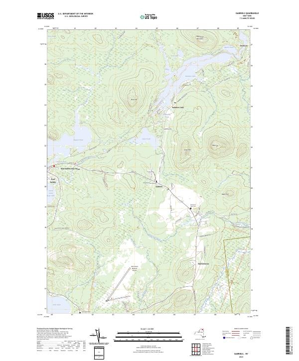
2023 Map of Gabriels
USGS Topo · Published 2023About this map
Gabriels and the surrounding Adirondack lake country are defined by a complex network of glacial water bodies and seasonal settlements. The map highlights the central role of Paul Smiths near Lower Saint Regis Lake, a locality long associated with wilderness education and early mountain tourism. Modern transit infrastructure, such as the Adirondack Regional Airport, contrasts with the older settlement patterns found at Onchiota and Harrietstown. The terrain is marked by numerous family-named landmarks and water features like Grandmas Pond and Jones Pond, alongside the winding paths of the Saint Regis River and Rickerson Brook. Large tracts of the Adirondack Park Preserve indicate the region's commitment to conservation, while cemeteries like Saint Johns Cem provide vital points of reference for local genealogical research within the Franklin Co and Essex Co boundary area.
Find a feature on this map
69 named features on this map. Tap any name to fly to it.
Don’t see what you’re looking for? This feature index may not catch every label — zoom into the map to look around manually.
Map Details
Editions of this 2023 Gabriels Map
This is the sole edition of this map. No revisions or reprints were ever made.
Other maps of this area

1902 · Saranac
USGS Topo · 1:62,500

1904 · Saranac
USGS Topo · 1:62,500

1905 · Saint Regis
USGS Topo · 1:62,500

1906 · Loon Lake
USGS Topo · 1:62,500

1908 · Loon Lake
USGS Topo · 1:62,500

1921 · Santa Clara
USGS Topo · 1:62,500

1923 · Santa Clara
USGS Topo · 1:62,500

1948 · Ogdensburg
USGS Topo · 1:250,000

1951 · Ogdensburg
USGS Topo · 1:250,000

1953 · Ogdensburg
USGS Topo · 1:250,000