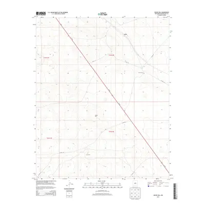
2013 Map of Gacho Hill
USGS Topo · Published 2013About this map
Joffre stands as the primary named point of interest in this high-plains landscape of eastern New Mexico. The terrain is defined by the prominent Gacho Hill, which overlooks a sparse network of county roads and grazing land. The area's ranching heritage is anchored by family-named holdings such as Mitchell Ranch and Carde Ranch, providing specific landmarks for local history and genealogical research in Guadalupe County.
Find a feature on this map
13 named features on this map. Tap any name to fly to it.
Don’t see what you’re looking for? This feature index may not catch every label — zoom into the map to look around manually.
Map Details
Editions of this 2013 Gacho Hill Map
This is the sole edition of this map. No revisions or reprints were ever made.
Other maps of this area

1954 · Fort Sumner
USGS Topo · 1:250,000

1958 · Fort Sumner
USGS Topo · 1:250,000

1978 · Vaughn
USGS Topo · 1:24,000

1978 · El Morro Ranch
USGS Topo · 1:24,000

1978 · Long Draw
USGS Topo · 1:24,000

1979 · Fort Sumner
USGS Topo · 1:100,000

1980 · Corona
USGS Topo · 1:100,000

1981 · Loco Draw
USGS Topo · 1:24,000

1981 · Gacho Hill NW
USGS Topo · 1:24,000

1981 · Gacho Hill SW
USGS Topo · 1:24,000