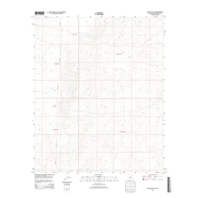
2013 Map of Gacho Hill NW
USGS Topo · Published 2013About this map
Vicente Ranch and Del Curto Ranch anchor this landscape in Guadalupe County, highlighting the region's enduring ranching heritage. These private holdings are situated within a vast, high-elevation terrain defined by the natural drainage of Marino Draw. The map documents a sparse but vital transportation network consisting of Co Road 3K, Co Road 3A, and Co Road 3KA, which provide the primary access through these remote sections of New Mexico. The Public Land Survey System grid organizes the territory into townships including t3n r16e and t2n r17e, illustrating how the land was partitioned for settlement and grazing in the early twenty-first century.
Find a feature on this map
10 named features on this map. Tap any name to fly to it.
Don’t see what you’re looking for? This feature index may not catch every label — zoom into the map to look around manually.
Map Details
Editions of this 2013 Gacho Hill NW Map
This is the sole edition of this map. No revisions or reprints were ever made.
Other maps of this area

1954 · Fort Sumner
USGS Topo · 1:250,000

1958 · Fort Sumner
USGS Topo · 1:250,000

1978 · Vaughn
USGS Topo · 1:24,000

1978 · Tejon
USGS Topo · 1:24,000

1978 · Long Draw
USGS Topo · 1:24,000

1980 · Corona
USGS Topo · 1:100,000

1981 · Gacho Hill NW
USGS Topo · 1:24,000

1981 · Gacho Hill SW
USGS Topo · 1:24,000

1981 · Camaleon Draw East
USGS Topo · 1:24,000

1981 · Gacho Hill SE
USGS Topo · 1:24,000