
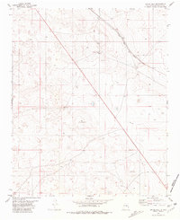
1981 Map of Gacho Hill SE
USGS Topo · Published 1981About this map
The high plains of Central New Mexico are defined by the Guadalupe Co Lincoln Co boundary on this 1981 survey. Water management is the primary marker of human activity across this arid landscape, illustrated by named collection points like Manzanita Tank, Bano Tank, and the larger Manzanita Lake. These features, along with specialized landmarks such as Mc Lemore Well and Manzanita Well, indicate the infrastructure required for ranching in this portion of the state.
Find a feature on this map
12 named features on this map. Tap any name to fly to it.
Don’t see what you’re looking for? This feature index may not catch every label — zoom into the map to look around manually.
Map Details
Editions of this 1981 Gacho Hill SE Map
This is the sole edition of this map. No revisions or reprints were ever made.
Other maps of this area

1954 · Fort Sumner
USGS Topo · 1:250,000

1958 · Fort Sumner
USGS Topo · 1:250,000

1967 · Ramon
USGS Topo · 1:24,000

1979 · Fort Sumner
USGS Topo · 1:100,000

1980 · Corona
USGS Topo · 1:100,000

1981 · Loco Draw
USGS Topo · 1:24,000

1981 · Cowboy Mesa NE
USGS Topo · 1:24,000

1981 · Gacho Hill NW
USGS Topo · 1:24,000

1981 · Gacho Hill SW
USGS Topo · 1:24,000
1981 · Gacho Hill
USGS Topo · 1:24,000