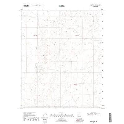
2020 Map of Gacho Hill NW
USGS Topo · Published 2020About this map
Marino Draw meanders across this high desert landscape, providing the primary hydrological feature in an otherwise arid expanse of Guadalupe County. This 2020 survey illustrates the transition between township lines t3n r16e and t3n r17e, showing a region defined by its vast open spaces and minimal development. Human presence is marked primarily by a sparse network of rural routes, including Co Rd 3k and the uniquely named Jacklope Rd, which navigate the subtle changes in elevation. The map captures the fundamental survey structure of the American West, highlighting how township and range divisions continue to organize the remote reaches of New Mexico's interior.
Find a feature on this map
8 named features on this map. Tap any name to fly to it.
Don’t see what you’re looking for? This feature index may not catch every label — zoom into the map to look around manually.
Map Details
Editions of this 2020 Gacho Hill NW Map
This is the sole edition of this map. No revisions or reprints were ever made.
Other maps of this area

1954 · Fort Sumner
USGS Topo · 1:250,000

1958 · Fort Sumner
USGS Topo · 1:250,000

1978 · Vaughn
USGS Topo · 1:24,000

1978 · Tejon
USGS Topo · 1:24,000

1978 · Long Draw
USGS Topo · 1:24,000

1980 · Corona
USGS Topo · 1:100,000

1981 · Gacho Hill NW
USGS Topo · 1:24,000

1981 · Gacho Hill SW
USGS Topo · 1:24,000

1981 · Camaleon Draw East
USGS Topo · 1:24,000

1981 · Gacho Hill SE
USGS Topo · 1:24,000