
1983 Map of Gackle North
USGS Topo · Published 1983About this map
The town of Gackle anchors the southeastern corner of this North Dakota landscape, situated along the Burlington Northern railroad line at the boundary of Stutsman and Logan Counties. The terrain is defined by a dense network of prairie potholes and small lakes, reflecting the glacial history of the Missouri Coteau. Local civil townships including Bloomenfield, Sinclair, Germania, Griffin, and Finn organize the rural sections, where legacy landmarks like the Townhall and the Enzminger Landing Strip appear amidst the agricultural grid.
Find a feature on this map
13 named features on this map. Tap any name to fly to it.
Don’t see what you’re looking for? This feature index may not catch every label — zoom into the map to look around manually.
Map Details
Editions of this 1983 Gackle North Map
This is the sole edition of this map. No revisions or reprints were ever made.
Other maps of this area

1953 · Jamestown
USGS Topo · 1:250,000

1953 · Cleveland SE
USGS Topo · 1:24,000

1953 · Cleveland SW
USGS Topo · 1:24,000

1955 · Medina SE
USGS Topo · 1:24,000

1956 · Jamestown
USGS Topo · 1:250,000

1983 · Alfred
USGS Topo · 1:24,000

1983 · Streeter
USGS Topo · 1:24,000

1983 · Streeter SE
USGS Topo · 1:24,000
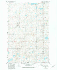
1983 · Gackle South
USGS Topo · 1:24,000
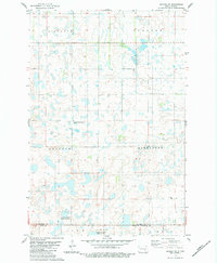
1983 · Gackle NE
USGS Topo · 1:24,000