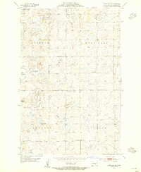
1953 Map of Cleveland SE
USGS Topo · Published 1955About this map
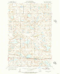
Moon Lake and a dense network of prairie sloughs characterize this Stutsman County landscape during the early 1950s. The terrain is marked by the irregular depressions and low rises of the Missouri Coteau, where names like Mt Pleasant stand out against the wetland-heavy topography. The map reveals a rural structure organized into townships such as Stirton, Sinclair, and Cusator, where one-room schoolhouses like School No 1 served the farming community before widespread school consolidation.
Find a feature on this map
20 named features on this map. Tap any name to fly to it.
Don’t see what you’re looking for? This feature index may not catch every label — zoom into the map to look around manually.
Map Details
Editions of this 1953 Cleveland SE Map
2 editions found

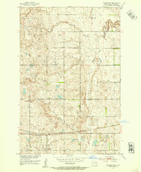
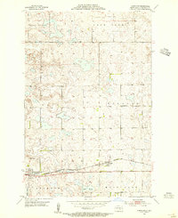
Other maps of this area
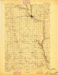
1896 · Jamestown
USGS Topo · 1:125,000
1951 · Eldridge NW
USGS Topo · 1:24,000

1952 · Jud NW
USGS Topo · 1:24,000

1952 · Eldridge SW
USGS Topo · 1:24,000

1953 · Jamestown
USGS Topo · 1:250,000
1953 · Cleveland
USGS Topo · 1:24,000

1953 · Cleveland SW
USGS Topo · 1:24,000
1954 · Cleveland NW
USGS Topo · 1:24,000

1956 · Jamestown
USGS Topo · 1:250,000

1983 · Gackle North
USGS Topo · 1:24,000