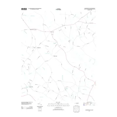
2013 Map of Gaddysville
USGS Topo · Published 2013About this map
Gaddys Mill and the surrounding borderlands of Robeson County anchor this coastal plain landscape where the North Carolina and South Carolina line is marked by State Line Rd. The terrain is defined by an intricate network of wetlands and drainage systems, including the expansive Big Coupen Swamp and Alligator Swamp. Historical water-powered industry is evident through features like Horns Old Millpond, the associated Horns Millrace, and Gaddys Millpond. Small crossroads settlements such as Hammond Crossroads, Five Forks, and Gaddysville serve as local hubs for a rural road network that includes family-named routes like Smith Farm Pl. The presence of several distinct water bodies, such as White Pond and Morgan Ponds, highlights the high water table and agricultural drainage patterns characteristic of this interstate border region.
Find a feature on this map
102 named features on this map. Tap any name to fly to it.
Don’t see what you’re looking for? This feature index may not catch every label — zoom into the map to look around manually.
Map Details
Editions of this 2013 Gaddysville Map
This is the sole edition of this map. No revisions or reprints were ever made.
Other maps of this area

1943 · Pages Mill
USGS Topo · 1:62,500

1953 · Florence
USGS Topo · 1:250,000

1954 · Florence
USGS Topo · 1:250,000

1959 · Fork
USGS Topo · 1:24,000

1960 · Dillon East
USGS Topo · 1:24,000

1962 · Fair Bluff
USGS Topo · 1:24,000

1962 · Fairmont
USGS Topo · 1:24,000

1962 · Lake View
USGS Topo · 1:24,000

1962 · Gaddysville
USGS Topo · 1:24,000

1962 · Fair Bluff
USGS Topo · 1:62,500