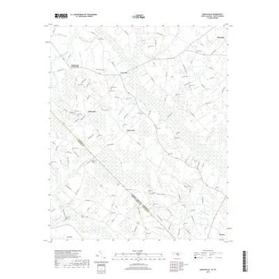
2019 Map of Gaddysville
USGS Topo · Published 2019About this map
Robeson County, North Carolina, and Dillon County, South Carolina, meet in this detailed survey of the coastal plain’s borderlands. The landscape is defined by its extensive swamp networks and characteristic elliptical depressions known as bays, including Mill Bay, Butler Bay, and Colson Bay. These features, along with Ashpole Swamp and Big Coupen Swamp, dictated the historical placement of roads and farmsteads.
Find a feature on this map
131 named features on this map. Tap any name to fly to it.
Don’t see what you’re looking for? This feature index may not catch every label — zoom into the map to look around manually.
Map Details
Editions of this 2019 Gaddysville Map
This is the sole edition of this map. No revisions or reprints were ever made.
Other maps of this area

1943 · Pages Mill
USGS Topo · 1:62,500

1953 · Florence
USGS Topo · 1:250,000

1954 · Florence
USGS Topo · 1:250,000

1959 · Fork
USGS Topo · 1:24,000

1960 · Dillon East
USGS Topo · 1:24,000

1962 · Fair Bluff
USGS Topo · 1:24,000

1962 · Fairmont
USGS Topo · 1:24,000

1962 · Lake View
USGS Topo · 1:24,000

1962 · Gaddysville
USGS Topo · 1:24,000

1962 · Fair Bluff
USGS Topo · 1:62,500