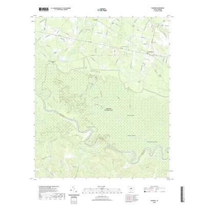
2020 Map of Gadsden
USGS Topo · Published 2020About this map
Congaree National Park dominates the central landscape of this South Carolina quadrangle, preserving a complex riverine ecosystem where the Congaree River meanders along the boundary of Richland and Calhoun counties. The floodplain is characterized by unique topographic elevations such as Bradys Cattle Mt and Cooners Cattle Mt, which provided critical high ground for livestock during seasonal flooding.
Find a feature on this map
95 named features on this map. Tap any name to fly to it.
Don’t see what you’re looking for? This feature index may not catch every label — zoom into the map to look around manually.
Map Details
Editions of this 2020 Gadsden Map
This is the sole edition of this map. No revisions or reprints were ever made.
Other maps of this area

1943 · Eastover
USGS Topo · 1:62,500

1946 · Elloree
USGS Topo · 1:62,500

1946 · St. Matthews
USGS Topo · 1:62,500

1948 · Hopkins
USGS Topo · 1:62,500

1953 · Saylors Lake
USGS Topo · 1:24,000

1953 · Fort Jackson South
USGS Topo · 1:24,000

1953 · Eastover
USGS Topo · 1:24,000
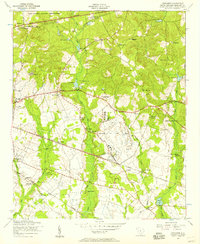
1953 · Congaree
USGS Topo · 1:24,000

1953 · Gadsden
USGS Topo · 1:24,000

1953 · Wateree
USGS Topo · 1:24,000