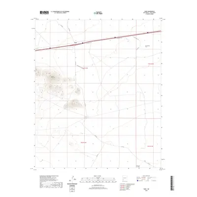
2020 Map of Gage
USGS Topo · Published 2020About this map
The Victorio Mountains dominate the western landscape of this high desert region in Luna County, providing a stark topographical contrast to the surrounding flats. Centered on the settlement of Gage, the map documents a corridor of transit and ranching infrastructure defined by the northern passage of Interstate 10 and its associated I-10 Frontage Rd SW. Seasonal watercourses like Walnut Cr, Cow Springs Draw, and Seventysix Draw reveal the drainage patterns of the arid terrain, while the presence of the CCC Tank points to historical water management efforts in the area. Local travel is facilitated by a network of rural routes, including Phillips Ranch Rd and Casa Blanca Rd SW, which connect the scattered points of interest across the township and range lines of the Chihuahuan Desert.
Find a feature on this map
18 named features on this map. Tap any name to fly to it.
Don’t see what you’re looking for? This feature index may not catch every label — zoom into the map to look around manually.
Map Details
Editions of this 2020 Gage Map
This is the sole edition of this map. No revisions or reprints were ever made.
Other maps of this area

1899 · Deming
USGS Topo · 1:125,000

1915 · Deming
USGS Topo · 1:125,000

1954 · Silver City
USGS Topo · 1:250,000

1955 · Las Cruces
USGS Topo · 1:250,000

1958 · Las Cruces
USGS Topo · 1:250,000

1958 · Silver City
USGS Topo · 1:250,000

1962 · Silver City
USGS Topo · 1:250,000

1963 · Gage SW
USGS Topo · 1:24,000

1963 · Gage NW
USGS Topo · 1:24,000

1963 · Gage
USGS Topo · 1:24,000