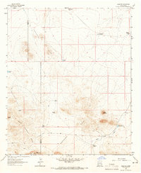
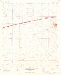
1963 Map of Gage SW
USGS Topo · Published 1965About this map
The Continental Divide winds through the high desert of the southwest in the early 1960s, marking the border between Grant and Luna counties. This arid landscape is defined by its water management infrastructure, where isolated features like Sleeper Tank, Rocky Tank, and the Tod Hunter Reservoir sustained livestock and local ranching operations. The Home Ranch serves as a primary point of human settlement amidst the rugged topography of the Cedar Mountain Range and prominent peaks like Sheep Mountain.
Find a feature on this map
19 named features on this map. Tap any name to fly to it.
Don’t see what you’re looking for? This feature index may not catch every label — zoom into the map to look around manually.
Map Details
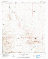
Editions of this 1963 Gage SW Map
2 editions found
Other maps of this area
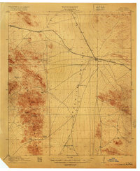
1918 · Hachita
USGS Topo · 1:62,500
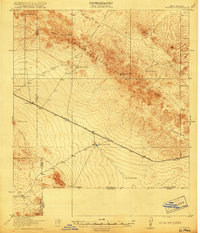
1918 · Victorio
USGS Topo · 1:62,500

1954 · Silver City
USGS Topo · 1:250,000

1955 · Douglas
USGS Topo · 1:250,000

1958 · Silver City
USGS Topo · 1:250,000

1959 · Douglas
USGS Topo · 1:250,000

1961 · Douglas
USGS Topo · 1:250,000

1962 · Silver City
USGS Topo · 1:250,000
1963 · Gage NW
USGS Topo · 1:24,000
1963 · Gage
USGS Topo · 1:24,000