
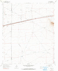
1963 Map of Gage NW
USGS Topo · Published 1966About this map
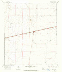
The Continental Divide winds through this high desert corridor, marking the hydrological crest between the Atlantic and Pacific basins in southwestern New Mexico. This 1963 survey shows a landscape defined by the logistics of the railroad and the ranching economy, where the Southern Pacific tracks run parallel to a major highway and a buried Pipeline. Isolated outposts like Wilna serve as waypoints along the rail line, while the broader terrain is dotted with critical water sources for livestock, including Bounds Windmill, Robinson Windmill, and Baker Windmill.
Find a feature on this map
24 named features on this map. Tap any name to fly to it.
Don’t see what you’re looking for? This feature index may not catch every label — zoom into the map to look around manually.
Map Details
Editions of this 1963 Gage NW Map
2 editions found
Other maps of this area

1954 · Silver City
USGS Topo · 1:250,000

1958 · Silver City
USGS Topo · 1:250,000

1962 · Silver City
USGS Topo · 1:250,000

1963 · Gage SW
USGS Topo · 1:24,000

1963 · Soldiers Farewell Hill
USGS Topo · 1:24,000

1963 · Gage
USGS Topo · 1:24,000
1963 · Grandmother Mountain West
USGS Topo · 1:24,000
1963 · Gage SE
USGS Topo · 1:24,000
1964 · The Saltys
USGS Topo · 1:24,000
1964 · Separ NE
USGS Topo · 1:24,000