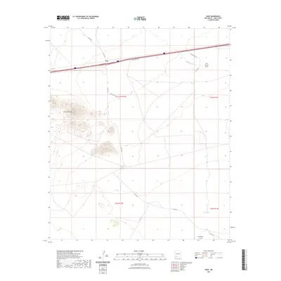
2023 Map of Gage
USGS Topo · Published 2023About this map
Gage serves as the central point of interest in this high-desert landscape, situated along the primary transportation corridor of Interstate 10. The terrain is defined by the sharp relief of the Victoria Mountains to the west, which rise abruptly from the surrounding alluvial plains. This area of Luna County is characterized by ephemeral drainage patterns, with Walnut Creek and Cow Springs Draw trending toward the northeast, while Seventysix Draw marks the southern reaches of the quadrangle. Local ranching and land management history is evident through features like CCC Tank, which points to mid-century water infrastructure development. A network of rural routes, including Phillips Ranch Rd and Casa Blanca Rd SW, provides access to the isolated sections of the basin between the mountain ranges.
Find a feature on this map
18 named features on this map. Tap any name to fly to it.
Don’t see what you’re looking for? This feature index may not catch every label — zoom into the map to look around manually.
Map Details
Editions of this 2023 Gage Map
This is the sole edition of this map. No revisions or reprints were ever made.
Other maps of this area

1899 · Deming
USGS Topo · 1:125,000

1915 · Deming
USGS Topo · 1:125,000

1954 · Silver City
USGS Topo · 1:250,000

1955 · Las Cruces
USGS Topo · 1:250,000

1958 · Las Cruces
USGS Topo · 1:250,000

1958 · Silver City
USGS Topo · 1:250,000

1962 · Silver City
USGS Topo · 1:250,000

1963 · Gage SW
USGS Topo · 1:24,000

1963 · Gage NW
USGS Topo · 1:24,000

1963 · Gage
USGS Topo · 1:24,000