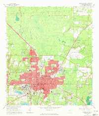
1966 Map of Gainesville East
USGS Topo · Published 1972About this map
The University of Florida campus and the expanding city core of Gainesville dominate this mid-century survey, revealing a landscape transitioning from agricultural grants into a major academic and regional hub. To the north and east, the Seaboard Coast Line railroad skirts the edges of Buck Bay and Potato Patch Bay, connecting the main city to outlying settlements like Fairbanks and Paradise.
Find a feature on this map
67 named features on this map. Tap any name to fly to it.
Don’t see what you’re looking for? This feature index may not catch every label — zoom into the map to look around manually.
Map Details
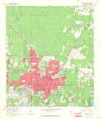
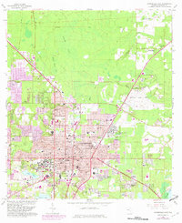
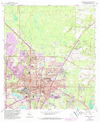
Editions of this 1966 Gainesville East Map
4 editions found
Other maps of this area

1890 · Arredondo
USGS Topo · 1:62,500

1892 · Arredondo
USGS Topo · 1:62,500

1894 · Arredondo
USGS Topo · 1:62,500

1938 · Hawthorn
USGS Topo · 1:48,000

1941 · Starke
USGS Topo · 1:62,500

1943 · Hawthorn
USGS Topo · 1:62,500

1948 · Starke
USGS Topo · 1:50,000

1949 · Waldo
USGS Topo · 1:24,000

1949 · Starke
USGS Topo · 1:62,500

1954 · Gainesville
USGS Topo · 1:250,000