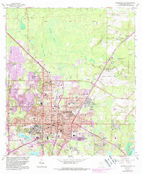
1966 Map of Gainesville East
USGS Topo · Published 1988About this map
The University of Florida campus and the sprawling city of Gainesville dominate this mid-century landscape, showing the intensive growth around the university and local healthcare infrastructure including the Veterans Administration Hospital and Alachua General Hospital. The 1966 fieldwork records a transition from the dense urban grid of the city center to the surrounding pine and cypress wetlands like Buck Bay and Potato Patch Bay. To the east, the Gainesville Regional Airport and the Sunland Training Center (State Hospital) mark the edge of development before the terrain drops toward the swampy margins of Newnans Lake. Transportation is defined by the Seaboard Coast Line Railroad and the Old Grade Railroad, which intersect the north-south alignment of Waldo Road. Local history is preserved in established sites like Evergreen Cemetery and residential communities such as Lincoln Estates and Kincaid Hills.
Find a feature on this map
62 named features on this map. Tap any name to fly to it.
Don’t see what you’re looking for? This feature index may not catch every label — zoom into the map to look around manually.
Map Details
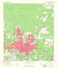
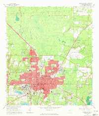
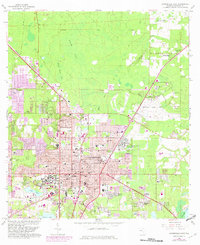
Editions of this 1966 Gainesville East Map
4 editions found
Other maps of this area

1890 · Arredondo
USGS Topo · 1:62,500

1892 · Arredondo
USGS Topo · 1:62,500

1894 · Arredondo
USGS Topo · 1:62,500

1938 · Hawthorn
USGS Topo · 1:48,000

1941 · Starke
USGS Topo · 1:62,500

1943 · Hawthorn
USGS Topo · 1:62,500

1948 · Starke
USGS Topo · 1:50,000

1949 · Waldo
USGS Topo · 1:24,000

1949 · Starke
USGS Topo · 1:62,500

1954 · Gainesville
USGS Topo · 1:250,000