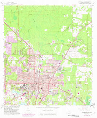
1966 Map of Gainesville East
USGS Topo · Published 1982About this map
The University of Florida dominates the western landscape of this mid-century survey, showing the campus before decades of later expansion. The city of Gainesville serves as the central hub, where the Seaboard Coast Line railroad intersects with major local thoroughfares like Waldo Road. To the east, the sprawling Sunland Training Center (State Hospital) and the Gainesville Regional Airport mark the transition toward the wetlands of Newnans Lake. This map reveals the distinct boundary between the urbanizing core and the surrounding natural features such as Buck Bay and Potato Patch Bay. Local history is preserved through numerous named institutions, including Lincoln High Sch and Kirby-Smith Sch, alongside significant memorial sites like Hillcrest Memorial Cemetery and Evergreen Cemetery. The inclusion of the Arredondo Grant Boundary provides a look at the historical Spanish land grant system still influencing Florida's modern property lines.
Find a feature on this map
78 named features on this map. Tap any name to fly to it.
Don’t see what you’re looking for? This feature index may not catch every label — zoom into the map to look around manually.
Map Details
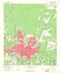
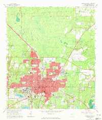
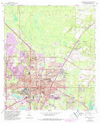
Editions of this 1966 Gainesville East Map
4 editions found
Other maps of this area

1890 · Arredondo
USGS Topo · 1:62,500

1892 · Arredondo
USGS Topo · 1:62,500

1894 · Arredondo
USGS Topo · 1:62,500

1938 · Hawthorn
USGS Topo · 1:48,000

1941 · Starke
USGS Topo · 1:62,500

1943 · Hawthorn
USGS Topo · 1:62,500

1948 · Starke
USGS Topo · 1:50,000

1949 · Waldo
USGS Topo · 1:24,000

1949 · Starke
USGS Topo · 1:62,500

1954 · Gainesville
USGS Topo · 1:250,000