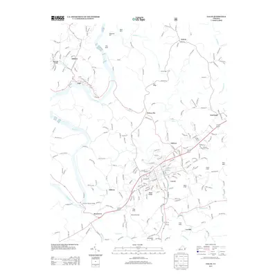
2013 Map of Galax
USGS Topo · Published 2013About this map
The Galax city center and its surrounding neighborhoods, including West Galax, anchor this modern topography along the Blue Ridge Plateau. The landscape is defined by the winding course of the New River, which flows past the industrial river town of Fries and the smaller settlements of Hilltown and Stevens Creek. To the south, the historic community of Oldtown sits near the riverbanks, while the eastern reaches of the quadrangle are marked by high points like Pope Knob and Enoch Knob.
Find a feature on this map
232 named features on this map. Tap any name to fly to it.
Don’t see what you’re looking for? This feature index may not catch every label — zoom into the map to look around manually.
Map Details
Editions of this 2013 Galax Map
This is the sole edition of this map. No revisions or reprints were ever made.
Other maps of this area

1889 · Hillsville
USGS Topo · 1:125,000

1889 · Wytheville
USGS Topo · 1:125,000

1892 · Hillsville
USGS Topo · 1:125,000

1892 · Wytheville
USGS Topo · 1:125,000

1896 · Hillsville
USGS Topo · 1:125,000

1930 · Speedwell
USGS Topo · 1:62,500

1930 · Independence
USGS Topo · 1:48,000

1930 · Max Meadows
USGS Topo · 1:62,500

1931 · Galax
USGS Topo · 1:48,000

1933 · Independence
USGS Topo · 1:62,500